About Nabiac
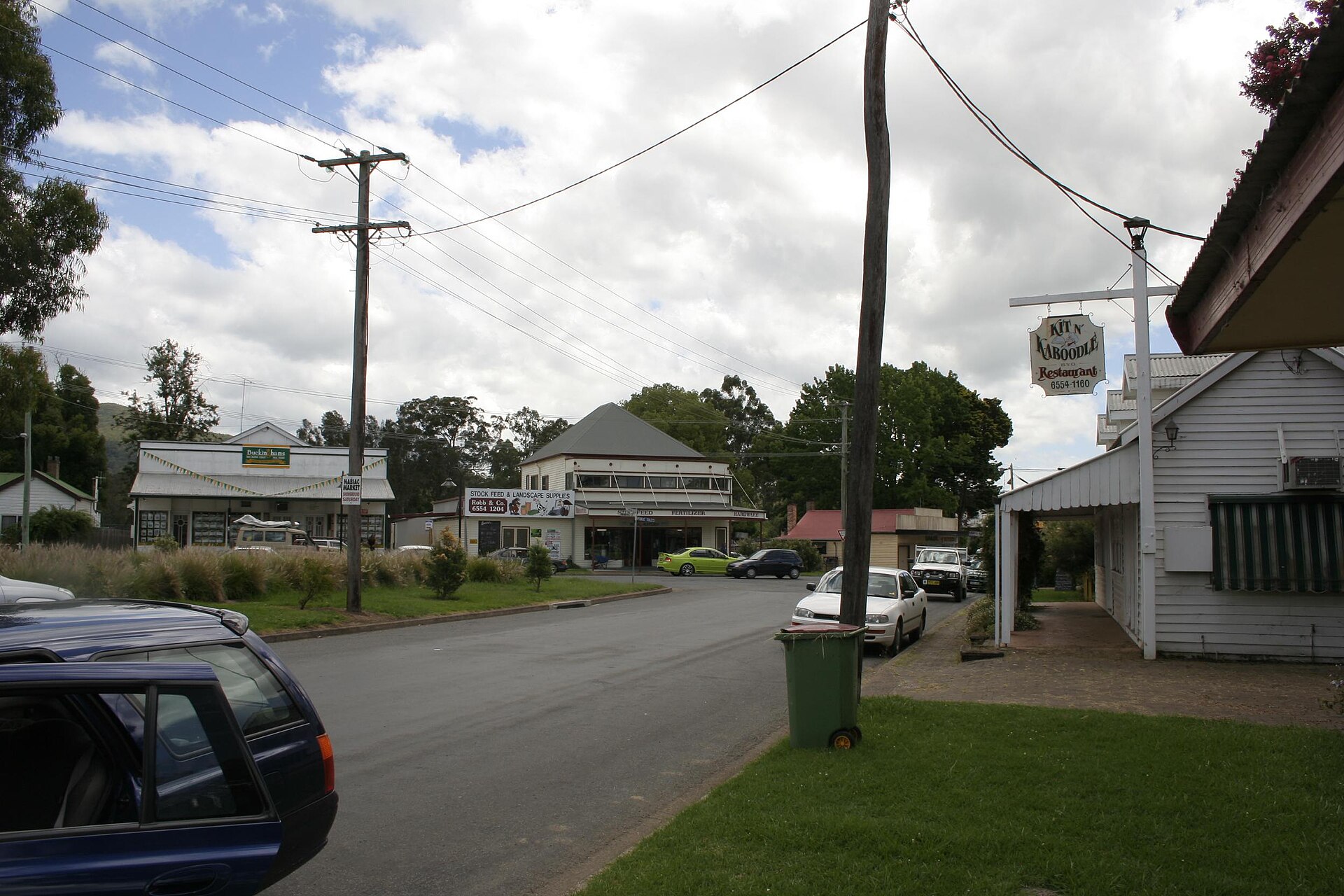
Nabiac is a small town on the Mid North Coast in the MidCoast Council area, north-west of Forster and south of Taree. It is the central town of the Wallamba Valley.
It grew in the second half of the nineteenth century as a small river port, later called Bullocks Wharf, on the eastern edge of town, for the hardwood-cutting trade, mainly Australian red cedar. As the valley was cleared, small-scale dairying and corn-growing became dominant.
How Nabiac got here
A few dates and facts that shaped the place.
May 1870
The first post office is established south of the Wallamba, as “Cape Hawke Post Office”.
1 June 1894
The post office takes the name Nabiac, after being Clarkson’s Crossing from 1880.
1963
The Pacific Highway is rerouted through Nabiac, after a bridge replaced Clarkson’s Crossing in 1958.
More about Nabiac
Milk was bought at first by the dairy at Dyers Crossing, about 6 km west, and later fresh milk was supplied to the Sydney market. Since the highway came through, Nabiac has become more of a highway service town and tourist stopping point. The poet Les Murray was born in Nabiac, though his family lived in nearby Bunyah.
Write something…
Where is Nabiac?
Nabiac is in the MidCoast Council area on the Mid North Coast of New South Wales.
Nearby towns with hubs on OurHub, with straight-line distances: Hallidays Point (12 km east), Krambach (12 km north-west), Coolongolook (14 km south), Tuncurry (14 km south-east).
What the Nabiac directory lists
To eat and drink: Greenhouse Cafe, Nabiac Hotel, Sidetracked coffee. Shops and services: Nabiac Post Office. For health: Max Value Pharmacy. Halls and community places: Nabiac Branch Library.
Parks, beaches and recreation: Memorial Park, Village Green. Schools and learning: Nabiac Public School. Emergency services: Nabiac Pollic Station, Nabiac Rural Fire Brigade.
Get in touch
A question, something out of date, a group to link, or the keys to this hub: send it here and someone at OurHub will get back to you.
Photo: “Nabiac” by Grahamec (CC BY-SA 4.0), via Wikimedia Commons. Town facts: Wikipedia (CC BY-SA 4.0), which cites the Australian Bureau of Statistics census. Straight-line distances are worked out from the hub’s coordinates. Directory locations © OpenStreetMap contributors (ODbL).